Land Evaluation Tool
2017
is thought to provide - based on a simple algorithm - evaluation possibilities for everybody right on the web. You do not need sophisticated skills in GIS but you follow a guided step by step approach. Many natural resource data layers are available by default. In addition, you can temporally include your own data and finally download the results for further processing on your desktop computer.
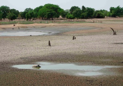
The tool is based on the FAO framework for land evaluation and applies the Storie index in order to derive the suitability classes.
You have a development-oriented project and want to know whether a certain innovation is applicable to your intervention zone? Then please try out the functionality of the easy to handle land evaluation tool!
Do you have data at hand to support land evaluation in Tanzania and that could be of use to others? For information please contact the Trans-SEC Web-GIS team:
System Content
Terra GIS Ltd - Technical Questions
In 2017 co-sponsoring of the Land Evaluation Tool was provided by Fiat Panis Foundation, Ulm, Germany
The Land Evaluation Tool
Documentation
Description of the Land Evaluation Tool (PDF)
For information on the land evaluation framework please refer to the following references:
Sys et al. 1991a/1991b/1993:
- 1991a: Part I Principles of land evaluation and crop production calculations
- 1991b: Part II Methods in land evaluation
- 1993: Part III: Crop requirements
Crop suitability ratings according to Sys et al. (1991-1993) - Excel spread sheet
Land Evaluation Tool input layer list (including value details)