Map Viewer
2017
is intended to provide spatial information that is of use in any kind of research or development action. It includes recent and historical information that can otherwise hardly be found. Emphasis is on land, soils, climate and agricultural production. Other topics e.g. from the field of socio-economy and food security can be included if they become available.
You have spatial data at hand which you would like to see published and that are not subject to property rights? Please contact the Trans-SEC Web-GIS team:
System Content
Terra GIS Ltd - Technical Questions
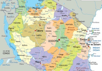
The Map Viewer
Links to the Map Viewer: